Investigatory
Walk 2
Date: 04/03/2015
Where: Stenhousemuir/Larbert
Duration: 1 hour 30 mins
Purpose
I had an idea of creating a map with images
embedded into it to show where these marks could be found. So the main plan for
this walk was to follow a route around my home town taking photographs of any
particularly interesting marks I found.
Details
So I started by looking at Google maps to see what
kind of route I could follow and decided I wanted to go along the main road
close to my home and then circle back through streets. During the walk I took
photographs of any marks that I could find or ones that I find particularly
different or interesting.
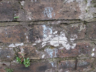
Success of the Trip
Although I did get some photographs, there wasn't
as many interesting marks to find on the main road, presumably because there
are more bins and is cleaned more regularly. So I think for illustrative
purposes it did work well, but I don't think that I really got what I was
looking for.
Additional
Notes
·
Marks are harder to find on main roads or
streets, would probably be better to sticking to more closed of areas with so
people traffic but not enough for the council or those living there to try and
take care of the area.


No comments:
Post a Comment